RSketch - Google Maps for Mars
-
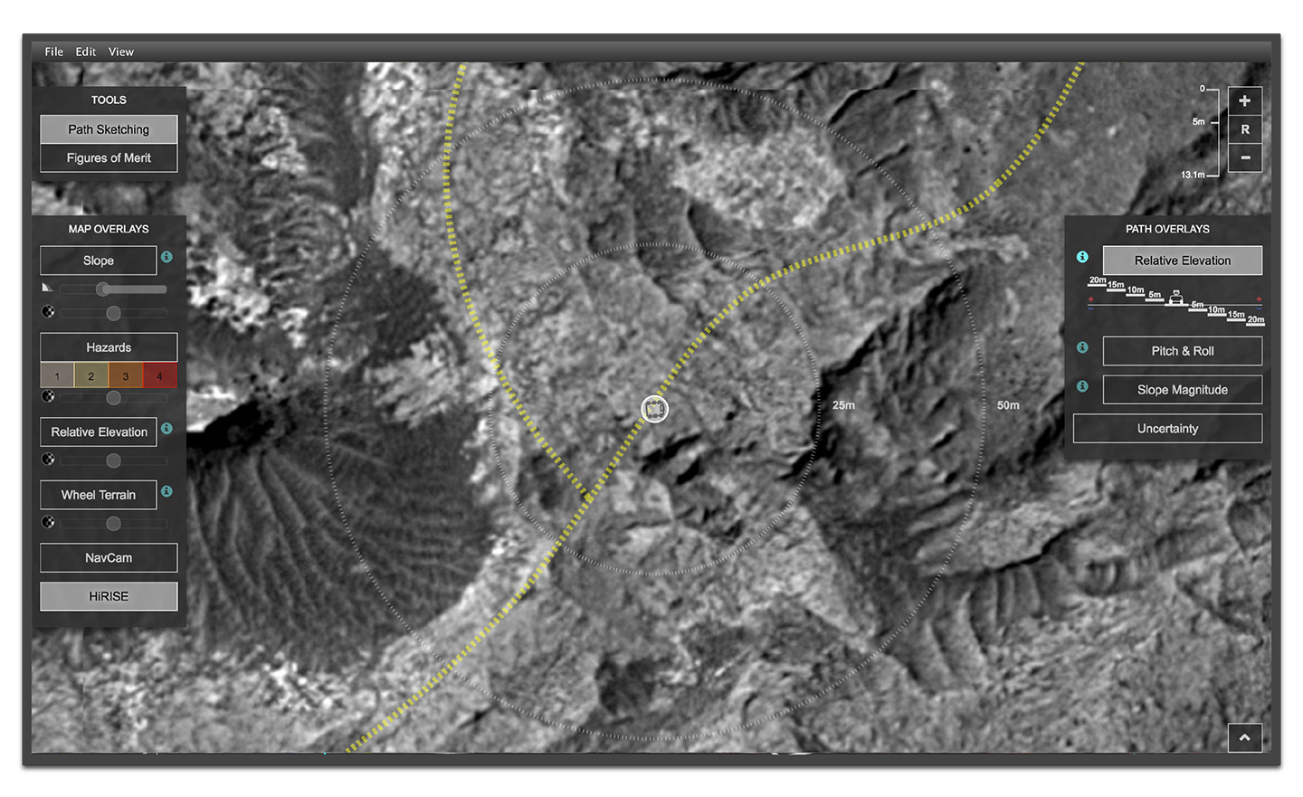
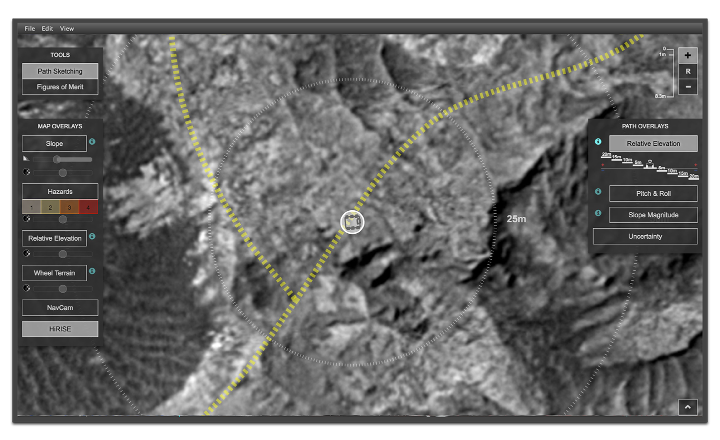
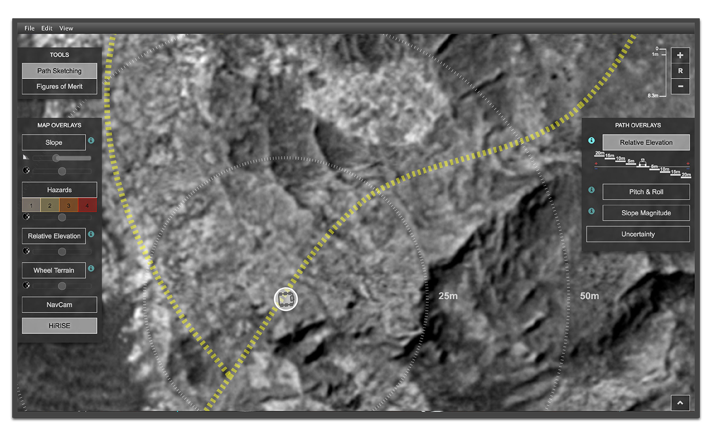
Rover Highway
Follow the yellow-dotted road. This is the long-term trajectory of Curiosity. -
Zoom the Map
Zoom using pinch-zoom or your mouse wheel. -
Pan the Map
Pan by dragging the map. -
Add Waypoints
Add by clicking the map. Waypoints define the rover's path. Drag them to adjust position. -
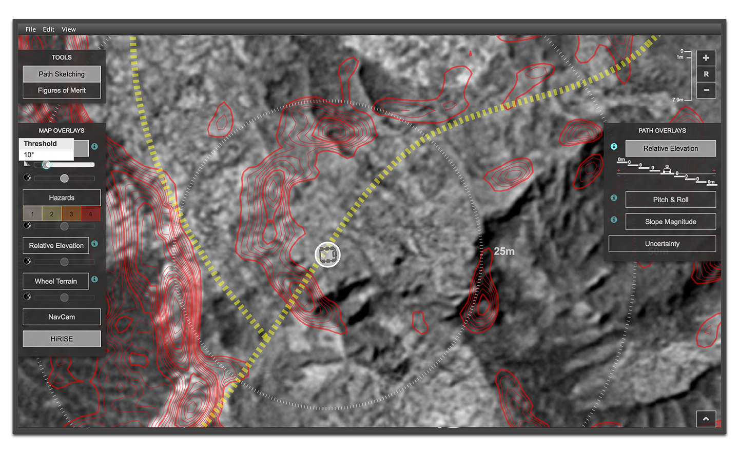
High-Slope Boundaries
Avoid high-slopes! Rover drivers avoid slopes greater than 15°. -
Overlays
Each overlay provides info about the terrain near the rover or directly along its path. -
View Profile
Click the arrow at bottom-right. Scrub along to inspect the traversed terrain of Curiosity. -
Check Uncertainty
Double-check for uncertainty! The ellipsoids indicate where Curiosity could end up by mistake.