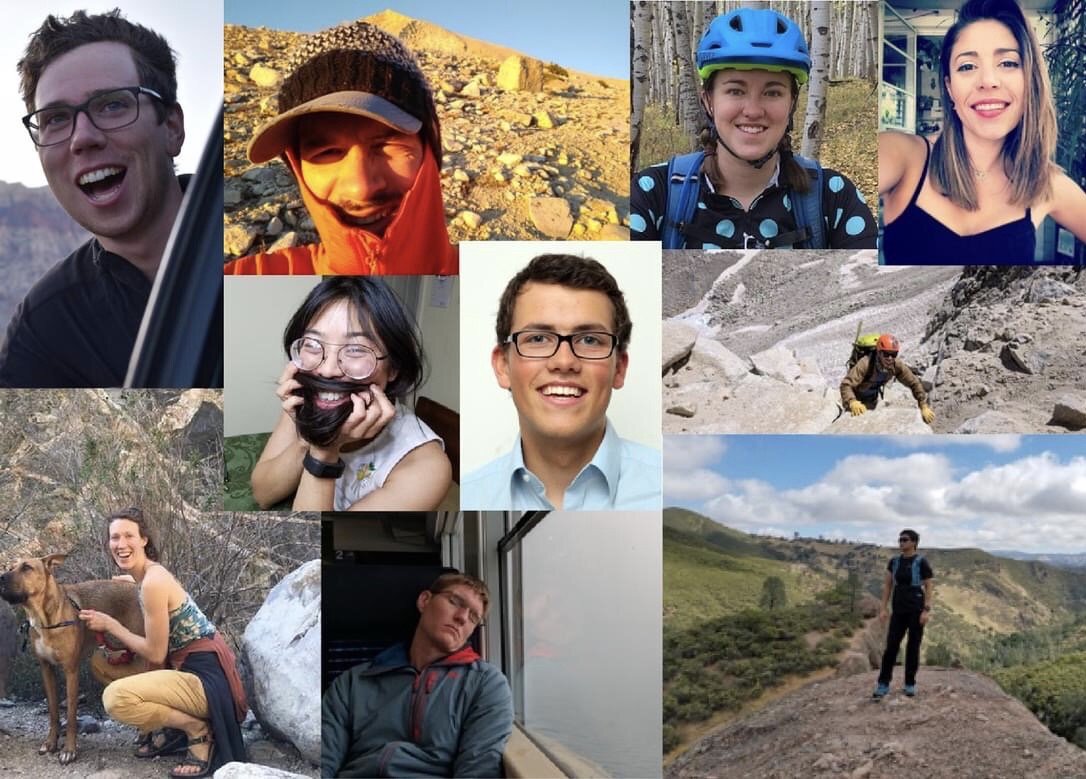
Top Roping and Anchor Building
At Joshua Tree
Febuary-2
Introduction to Rock Climbing I: Anchors and Outdoor
Top Roping (OTR)
This weekend, the plan is to go to Joshua Tree and do
some climbs on the Dairy Queen Wall. We will setup some routes of varying
difficulty, from about 5.6 to 5.12, the latter only for Javier... So everybody
is welcome to come out and climb in warm JTree. The place where we are
going to is called the Dairy Queen Wall and is located in the Lost Horse
area. The plan is to meet on Saturday morning at 6 am at the
corner of Wilson and San Pasqual and we'll all start from there. We'll
have directions for people who will drive. As usual, the club will provide
some gear, however if you happen to have some bringing it out wouldn't
be a bad idea.
Also we will have a tutorial session in the afternoon
about gear placing and anchor building for those of you who are interested.
For those of you who want to drive separately, spend the previous night camping in the park etc you can meet us directly over there. Following is maps of the area and how to get there.
What do I need to bring?
*Food
*Warm clothes
*Summer clothes
*Climbing shoes (if you have some)
*Harness (same)
* Helmet (same)
*water bottles
(It is hard to get water
in the park.)
*Backpack
(you will be carrying
a day pack with
clothes lunch etc.)
*Sun screen
Driving Directions:
1: I-210 E. 21.7 miles ( 34.9 km)
2: I-10 E. 73.4 miles ( 118.1 km)
3: CA-62 E. 30 miles
4: Turn right in the town of Joshua
Tree onto Park Boulevard (the park is indicated).
It takes about 2.5 hours to drive to the park from Caltech.
Money:
*It cost $10/car to get
into the park
(unless you already have
a pass)
*Money to eat out.
*Gas money
Facilities at J-Tree:
*There are toilets in
some places
What if I don't want to climb?
Suit yourself we won't be forcing you...
There is hiking and mountain biking. If you have your own car you will
be free to explore the park as you choose.
Getting to the Climbing Area:
Please read this carefully if you are planning to drive
by yourself.
We are going to climb at the Dairy Queen Wall in the
Lost Horse Area. To get there, use the West Entrance of the Park as described
previously. If you came with us last time to Jtree this is close to the
Atlantis Wall where we climbed on Saturday. After the Park entrance, drive
for a few miles before getting to the Lost Horse Area. You will pass a
parking lot (Quail Springs area) on your right, just keep going until you
arrive at an intersection with a dirt road on your right. Take the dirt
road for about half a mile then park. Continue by foot going east until
the other side of that horseshoe-shaped rock formation you can see on the
map. PRINT OUT THE MAPS and follow them to the DQ wall,
as marked by a little cross on the maps below. We will be at the climbing
area around 9 am.
Dairy Queen Wall is on the back of that horse-shoe shaped rock formation
in the middle of the picture, it is marked by a grey cross.
Now here is a closer look at the climbing area:
and here's an unrelated pdf file of the Atlantis Area, 5 or 6 pages: Atlantis Area pdf [updated Dec '06]